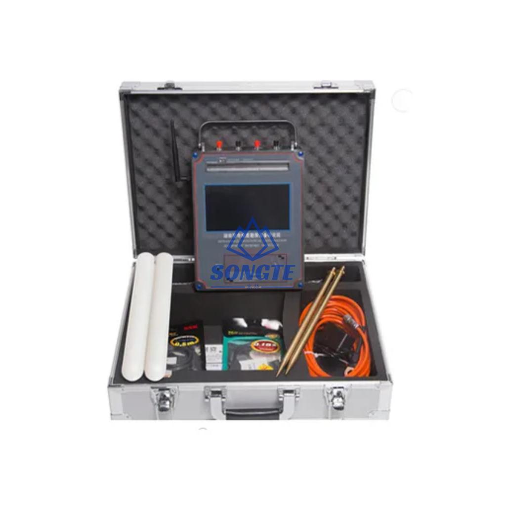
محدد موقع الألغام التلقائي لرسم الخرائط محدد موقع التعدين
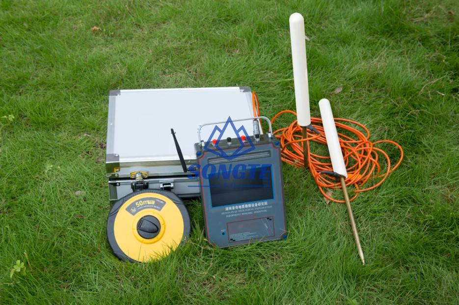
محدد موقع الألغام التلقائي لرسم الخرائط محدد موقع التعدين
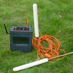
WT series automatic mapping mining locator is based on the earth’s electromagnetic field as the field source, based on the difference in the conductivity of different underground geological structures, and by studying the variation law of the electric field components at different frequencies to study the geological structure and changes, it widely used in the search for exploration of metal ores and non-metallic minerals, الاستكشاف الجيولوجي الهندسي, واستكشاف الكوارث الجيولوجية.
Mine Locator Features:
- The instrument can automatic mapping and get result on site.
- Apply to multiple and complex terrain exploration.
- Selected the depth according to your demand, 150m/300m/600m/900m/1200m/1500m
- It is intelligent, inexperienced people can learn the operation in five minutes.
- Fast measurement, strong anti-interference ability, high accuracy, it widely used in the search for multi geological exploration of metal ores, non-metallic minerals, mineral veins direction.
- The free and professional technical guidance 24 hours online.
- No need to register, it is ready to use.
- No network required, no traffic required.
Mine Locator Technical Parameters:
| نموذج | WT700 | WT900 | WT1200 |
| Detecting depth | 150m/300m/500m/600m | 150m/300m/600m/1200m | 600m/900m/1500m |
| Frequency | واحد, three, 68 | واحد, three, 68 | واحد, three, custom 98 |
| Channel | 8 | 8 | 8 |
| Working temperature | -10℃~+50℃ | -10℃~+50℃ | -10℃~+50℃ |
| عرض | 7-inch HD touch screen | 7-inch HD touch screen | 7-inch HD touch screen |
| Measuring method | Single freq
Three freq Profile survey |
Single freq
Three freq Profile survey |
Single freq
Three freq Profile survey |
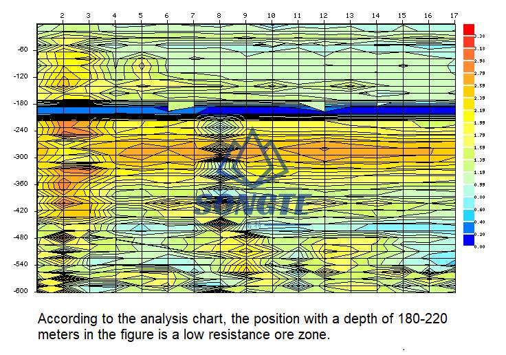
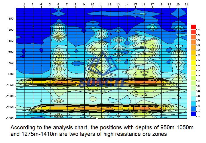
Mine Locator Automatic Mapping Mining Locator Results:
 سونغتيمان

